Custom Form Demo
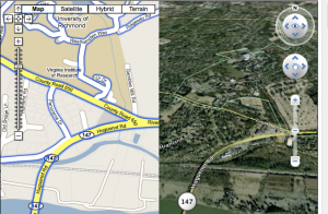
Check out the Google map to see an example of a kml overlay displaying student-collected data in Professor Kim Klinker’s Geography classes at the University of Richmond.
This is a quick example using a kml overlay on a Google map to show data collected by students at the University of Richmond in Professor Kim Klinker’s Geography classes.
http://www.streetcities.com/StreetEarth.aspx

These are the data files for opening/editing in Google Earth:
Full UR Campus Map KMZ file
Versions that are embedded into Google Maps can be seen on the Accessibility Paths and Building Icons Pages within this blog.